25 February Loch Whinyeon , Castramont Circular Report by Cath Birkett


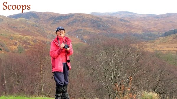
Fair weather greeted 18 ramblers when they met at Knocktinkle car park, Gatehouse of Fleet, on Saturday. This was a welcome change from the dreary wet walking days of late, but still there was no sunshine.
The car park is a fairly new facility dedicated to the memory of Betty Murray Usher who died in 1990, and whose family were the proprietors of the lands through which the day’s walk would explore. Cath, Thomas, Frances, Isobel, Rachel, Jim, Ken, Mary, Sue, Debi, Jack, Peter, John, Forbes, Leslie, Florence, Audrey and a visiting walker gathered there ready for the start of a new walk.
The dyke with its electric fence gave us the first excitement of the day and many stones slipped down as we tried to negotiate this obstacle. However, quick repairs were made after we had all got through and the fields were enclosed once again.
The immediate steep climb up Grey Hill and Benfadyeon caught out those who had not walked for some time. The way across the wet lands was not too boggy and the extensive views from the top were worth the effort. A 360 degree panorama was laid out, covering many of the hills the company had walked in the last year. In the west, from the Mull of Galloway peeping out behind the Isle of Whithorn, to Ben John, Cairnharrow and the masts of Cambret Hill, the view continued through Cairnsmore of Fleet, before taking in bronze moorland and the forests of the Grobdale walk. To the east, with Loch Whinyeon in the foreground, it was easy to trace an earlier outing through the Glengap forest. I was really worried that I would be totally unfit to climb the first hill but had been spurred on by Cath who called me a coward when I suggested missing this one out and meeting them all at Loch Whinyeon! Jim has recently been ill and is still not 100% so he was struggling as were a few others. I found the climb better than when I had done the recce and we reached the summit fairly easily.
The route now descended to the shores of Loch Whinyeon, and the sluice gate and remains of the tunnel which used to take water to the mills in Gatehouse, were explored. The modern outflow could be seen on the opposite shore, where the water now flows eastwards, to the works at Glengap.
The other two hills and the expanse between them were negotiated well, led by Cath who did an excellent job in remembering the way to go, occasionally being put right by Thomas!
Two more hills were climbed, Craigtype and the Fell of Laghead, the highest of the day at 292metres.
Now the hardest work was done and the company approached the Castramont walk by crossing the Laurieston road and following a forest road for some way under the Craig of Grobdale.
Once on the rather muddy path, energy was restored by a lunch break overlooking
Castramont Burn, before continuing by bridges and walk boards to ulreoch farm road. The sound of rushing water accompanied the walkers and a rather fine waterfall fell picturesquely through the trees.
A new dry stane dyke, bounding the fields above, was a fitting reminder that Mrs Murray Usher founded the Dry Stane Dyking Association of Great Britain.
Once on the farm road, bordered by old sessile oaks, it was downhill to the Castramont woods entrance, where the walkers once again endured a steadily rising path. Through fallen beech leaves and increasingly wonderful gnarled old coppiced beeches, the way meandered through the woods, which are maintained by Scottish Nature.
After a brief view of Castramon House well below the path, the destination of the coppiced wood – charcoal platforms - were examined. A low wall and a cleared grassy circle are all that remains of this ancient craft.
As I had expected, the climb in Castramont wood was a bit of a slog for me and for others. However, it was well worth it to get to the site of the charcoal platforms and to get Cath’s description of their history. Despite the autumnal colours being well past, we could not have found more colours on an artist’s paint palet!
Laghead Burn was crossed when the road was once more reached and the farm track past Lagg was taken for the homeward stretch of the walk. Here a heralder of spring was spotted; a lone, shiny, golden celandine glowed by the path.
A gentler walk, gradually uphill, past unused pheasant pens, and many fords crossing the burn, was followed, until the cars could be seen and approached across grassy fields, to end a varied and pleasant walk. The turn off on the track from Lagg Farm was found easily and we were left with one last effort upwards over fields to reach the cars, with relief! It had been a really wonderful walk, one on which the walkers had never been in its entirety.
The ramblers then retired to Galloway Lodge in Gatehouse to replenish their energy. The visiting walker left us there and Debi chose to return home, not joining the rest of us in the cafe at the Galloway Lodge where most of us enjoyed drinks and cakes – all except Cath who skipped her cake as she is back on her diet. It seemed pretty unfair that she then paid for ALL our refreshments, spending her recce money!


